


Visual & Spatial Capture
Editorial-grade architectural photography and aerial documentation for luxury residential, commercial real estate, and hospitality projects. Built around the project, not a shoot list.
Visual & Spatial Capture is a professional photography and aerial documentation service for the built environment. The practice produces publication-grade imagery for architects, developers, contractors, and property owners. Aerial work is coordinated through certified partner pilots.
Documentation that matches the work.
Most architecture photography is shot for listings. Visual & Spatial Capture is shot for record. The same project deserves coverage that holds up in a portfolio review, a permit application, a magazine feature, or a court of law.
The practice combines on-site photography with aerial coverage from certified partner pilots when the project requires it. Output is delivered in print-resolution, web-optimized, and master-file libraries with proper naming and rights documentation.
Capture services and deliverables.
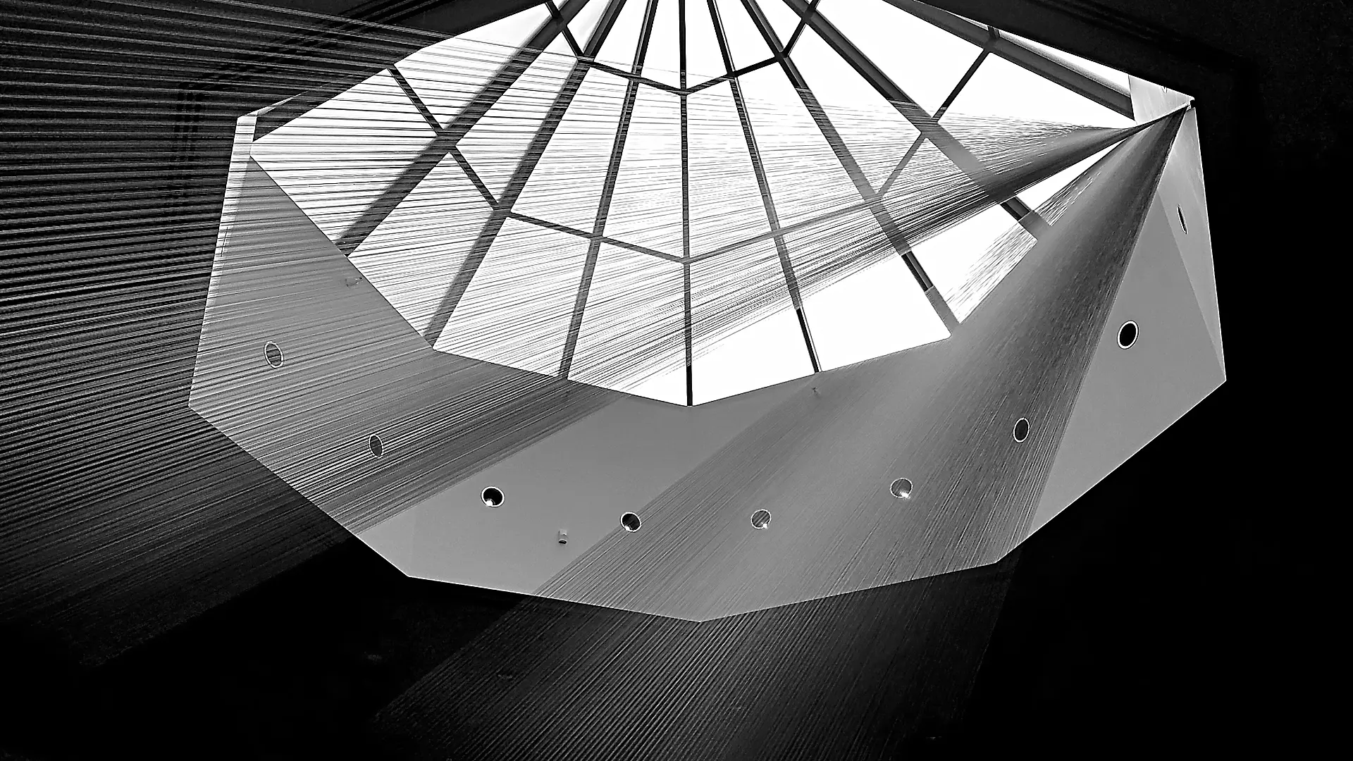
Architectural Photography
Interior and exterior documentation of completed luxury residential and commercial projects.
Aerial Documentation
Aerial photography and video for elevated and impossible-from-ground perspectives. Scheduled and operated by certified partner pilots.
Construction Documentation
Progress photography for build phases, milestone records, and time-lapse documentation across the project lifecycle.
Real Estate Visual Packages
Comprehensive visual packages for luxury listings: ground, aerial, twilight, and detail shots delivered as a single coordinated set.
Retouching & Post-Production
Color correction, composite work, and retouching for publication-ready deliverables on tight editorial timelines.
Asset Library Delivery
Web-optimized, print-resolution, and master files delivered in organized, named libraries with rights documentation.
Bring the project. Scope follows.
Visual capture is best scoped against a specific project. Bring the address, the architect, and the timeline. The deliverable will be defined before the shutter clicks.
Engagements are priced per project. Aerial work is added as a separate line item when required, with the partner pilot named in the scope of work. There are no monthly minimums.
The full scope of an engagement.
Architectural and brand photography
Documentation of buildings, interior spaces, and brand environments. Both editorial-style imagery for marketing and technical documentation for archive purposes.
Aerial photography and video
Part 107 certified drone work for property documentation, construction progress, and large-scale environments. Includes both stills and 4K video.
3D spatial capture
Matterport-style walkthroughs that let viewers explore a space remotely. Useful for real estate, construction documentation, and post-occupancy reference.
Construction documentation
Phased photography during construction projects, capturing what becomes hidden in walls, beneath grade, or behind finish work. This is institutional record, not marketing.
Video production
Brand films, project documentaries, and process videos. Filmed and edited in-house with no third-party production company markup.
Post-production and asset management
Color correction, retouching, file organization, and delivery. All assets organized for long-term use, not just immediate publication.
Licensing and rights management
Clear documentation of usage rights, model releases where applicable, and proper credits. You know what you can use and where.
How an engagement runs.
-
01
Brief and planning (week 1)
Understand the actual goal of the capture. Marketing imagery, archive documentation, and construction record have different requirements. Plan shot list, timing, and access.
-
02
Site visits and capture (variable)
Actual photography or videography sessions. Number of visits depends on scope (single shoot for marketing, phased visits for construction documentation).
-
03
Post-production (weeks following capture)
Color correction, retouching, trimming, and file preparation. We deliver both edited final files and untouched archive masters.
-
04
Delivery and handoff
Files delivered via Dropbox or Google Drive in a clearly organized structure. Includes usage documentation and licensing terms.
-
05
Archive and access
Master files retained for two years for client re-access. Long-term archival storage available as a separate service.
Questions before we begin.
Do you require a deposit?
Yes. For photography and video engagements, 50% is due at booking and 50% at delivery. For larger productions with multiple shoot days, milestone-based billing is documented in the SOW.
What about weather?
Outdoor shoots are scheduled with rain dates built into the plan. We monitor forecasts and reschedule when needed. There is no charge for weather-driven rescheduling within the contracted period.
Can you match the style of a specific brand?
Yes. Bring reference imagery and we will match it. Most clients have a brand guide or aesthetic preference. We work within those parameters rather than imposing a signature style.
Do you do real estate listings?
Selectively. Standard MLS listing photography is well-served by local realtors' photographers. We focus on architectural, luxury, commercial, and construction documentation where the deliverable matters more than the price point.
What about model releases?
For commercial work, we obtain model releases from anyone identifiable in the imagery. For environmental and architectural work where people are incidental, releases are not required. The boundary gets discussed in the brief phase.
How are files delivered?
High-resolution files via cloud storage in client-organized folders. Web-optimized versions of every image are included. Source files (RAW, untouched video) available on request.
Can you shoot during active construction?
Yes. We are familiar with active job sites, OSHA requirements, and the coordination needed to capture documentation without disrupting work. PPE and contractor coordination handled in advance.
Editorial-grade documentation for the work that earns it.
Visual capture should match the standard of the architecture itself. The consultation will scope the deliverable, the timeline, and any aerial coverage before a calendar hold is placed.
Skip the form.
Book directly.
Know exactly what you need? Grab a time on my calendar for a discovery call. No back-and-forth emails required.
Select a Time